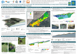
Contribution of multi-instrumental geophysics to determine the hydromechanical functioning of a deep-seated coastal landslide (Cirque des Graves, Normandy, France)
Résumé
At regional scale, various hydromechanical phenomena are affecting Normandy coast: deep-seated and surficial
landslides, rockslides, cliffs collapse or mudflows. These phenomena are controlled by pore water pressure
variations and are depending on the underlying lithostratigraphy. Coastal areas of the Bessin, of the Pays de Caux
but also coastal and hinterland fringes of the Pays d’Auge are particularly concerned [Maquaire, 1990; Costa,
1996; Lissak, 2012; Fressard, 2013; Letortu, 2012].
The RICOCHET project (ANR-16-CE03-0008) aims to identify the influence of variables controlling the
hazard in terms of extension, temporality and intensity. This requires to get an important knowledge about the
landslides structures and groundwater flows, which requires the use of various geophysical methods.
A focus is made on the study site of the ‘Cirque des Graves’, which is an active deep-seated coastal landslide
in Villerville (Calvados). This site, located at the junction between the Paris Basin and the Armorican Massif,
was subject to sediment inflows from both geological entities due to alternating between marine deposits and
intense erosion periods. This context led to a complex stratigraphy, composed by numerous layers with dissimilar
geotechnical characteristics. We suppose that this landslide originally triggered during the Würm glaciation
(approx. 10,000 yrs. B.P.). Since this period, variation of the groundwater level in the landslide body is setting
Cenomanian chalk panels in motion, sinking on Albian sands and sliding on Oxfordian clays.
Three different geophysical methods were used to accurately understand the internal morpho-structure and
its dynamics:
1 - Spontaneous Polarization (SP) to map the main drainage paths, quantifying the natural electric potential (with
no particular information about the depth). Around 1,200 measurement points were acquired to realize a 2D map
of this potential over this great landslide of 47 ha.
2 - Two missions of Electrical Resistivity Tomography (ERT), conducted in 2008 and 2018, for giving information
on shallow geological structures and water saturation.
3 - Seismic investigations to complete the acquaintances on deepest structures wave propagation until substratum
(Oxfordian ‘Hennequeville’ gritty limestone). At this end, two kinds of devices were used on field : autonomous
seismic 3D sensors and seismic 2D profiles equipped with geophones along two of the ERT cross-sections.
As first results, we note a correlation between the observed SP gradients and the actual knowledge of conceptual
hydrogeological functioning based on field observations. This is also in agreement with other geophysical
(seismic and electrical) data. We also computed hydromecanical models with FLAC® software, trying to show
how hydrology affect the displacement rates in the different compartments of the landslide. These models are set
from geophysical observations and geotechnical values measured in laboratory. Thanks to these data, we are able
to propose an integrated conceptual model describing the hydro-mechanical functioning of the landslide.
Fichier principal
 EGU2019-2415_Contribution of multi-instrumental geophysics.pdf (18.95 Mo)
Télécharger le fichier
Abstract_EGU2019-2415.pdf (37.3 Ko)
Télécharger le fichier
EGU2019-2415_Contribution of multi-instrumental geophysics.pdf (18.95 Mo)
Télécharger le fichier
Abstract_EGU2019-2415.pdf (37.3 Ko)
Télécharger le fichier
Origine : Fichiers produits par l'(les) auteur(s)